
Non-Native Plant Species
Survey, Monitoring and Predicting the Occurrence and Spread of Native and Non-native Plant Species at Idaho National Laboratories.
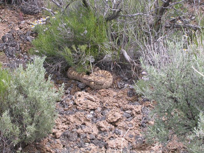
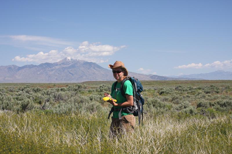
Plant species occurrence and frequency is being assessed using 2 km transects. These transects originate on roads or facility margins and travel 2 km away from the facility or road. In 2009 we recorded a total of twenty-two NIS but so far no RPS. More detailed results will be available in the future.
Click on an image to view as a slideshow.
Click on an image to view as a slideshow.
Predicting the spatial invasion metapopulation dynamics of herbaceous plant species on the INL.
Our overall project goal is to identify or estimate the current distribution of NIS
and RPS on the DOE Idaho National Laboratory (INL) site (sagebrush dominated Snake
River Plain) and to develop models that will predict the future distribution of NIS
and RPS in response to possible development scenarios.
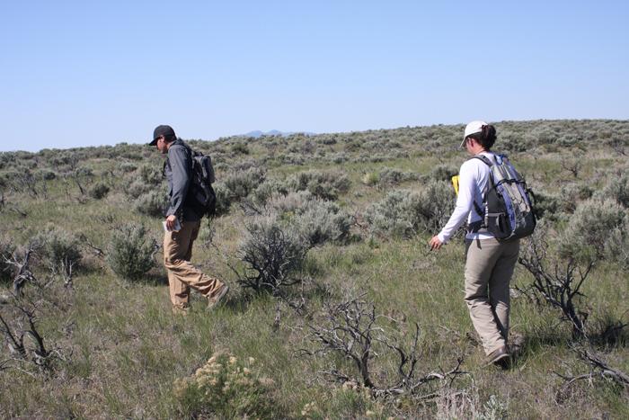
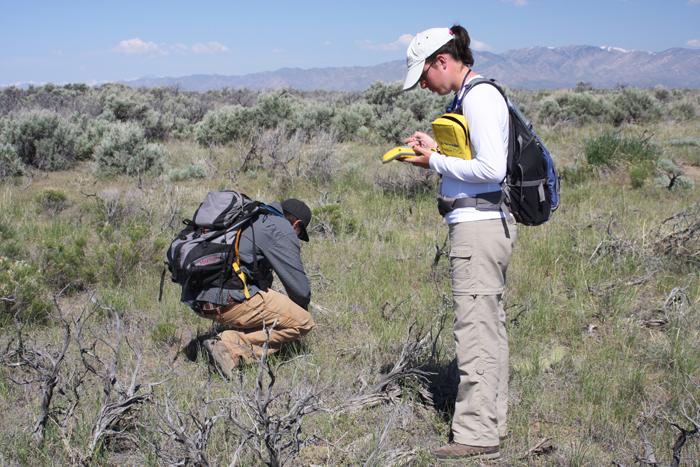
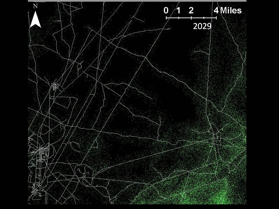
Conduct survey transects using stratified-random sampling, based on roads (NIS) or
sensitive areas (known populations of RPS) to generate species by species presence
and absence data. Perform additional adaptive sampling for RPS and rare NIS species.
Develop species specific probability of occurrence maps for NIS and RPS by fitting
presence-absence data to ancillary environmental variables using generalized linear
models. Use the transect and adaptive sampling data with ancillary variables to estimate
multistate Markov transition, or occupancy and extinction, probabilities and use the
probabilities to predict further invasion (NIS) or extinction (RPS) dynamics throughout
the study area. Simulate metapopulation dynamics for a range of development scenarios
at the INL site and Northern Range of Yellowstone national Park using the multistate
Markov transition or occupancy model approaches.
Click on an image to view as a slideshow.
Click on an image to view as a slideshow.